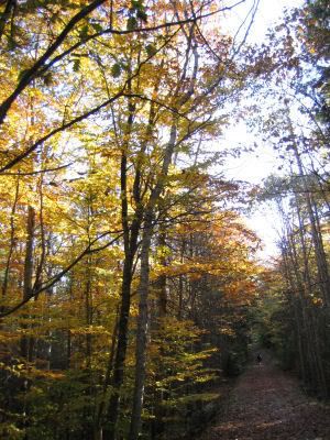
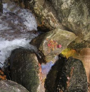
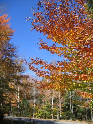
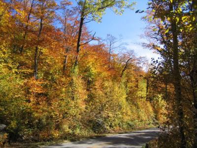
On Sunday the 8th, I decided to head up a little north where the foliage was good. I was thinking about going to Rangeley, but decided to stop when I noticed the colors were fading, and I didn't want to continue up too much further. I decided to stop by Grafton Notch though, since I'd never been. I went to Moose Cave, but wasn't too impressed. Then I stopped by a waterfall called "Mother Walker Falls". Most people pass this by because there isn't much of a view to see it. In order to get a good view, you have to cross a stream by stepping over some rocks. Not something that many people dare to do, or know to do for that matter. I was looking around trying to figure out where the trail was, and couldn't find it. Then I noticed some people on the other side of the stream, and they came over on rocks, so I thought, why not? I'm glad I did, it was very peaceful over there, and not many tourists!


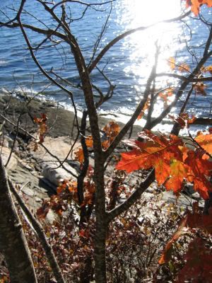
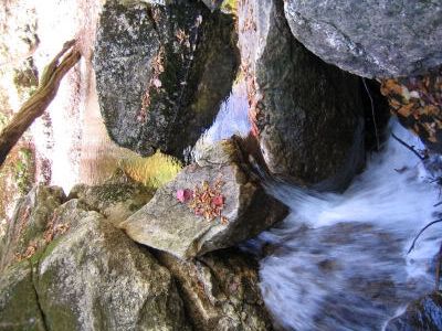
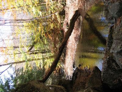
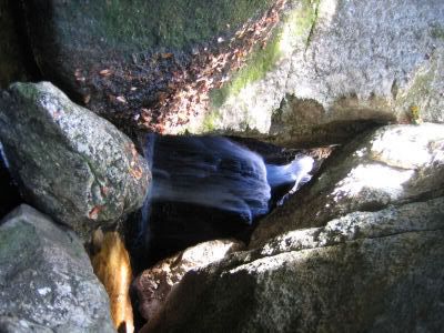
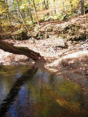
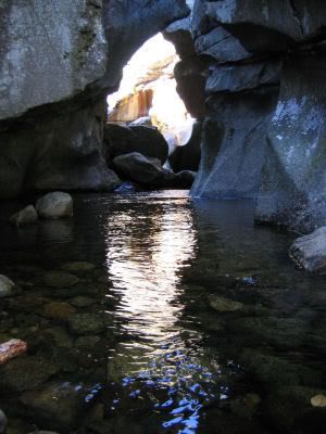
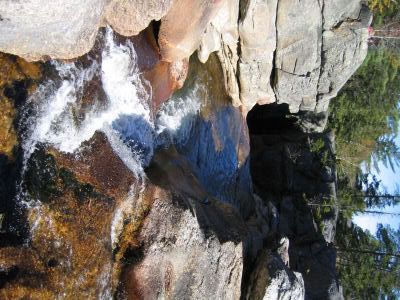
On my way out, I stopped by "Screw Auger Falls". I took a few pictures of the foliage because some of the trees were pretty bright. Then I went in to take a look at the Falls. I couldn't get a good angle, so I decided to do some rock climbing. In the second picture you'll see where I ended up. The waterfall was very well protected, and unless I wanted to get wet (not with all those tourists around to watch haha), I decided I'd better not bother. I took a picture looking in toward the waterfall though. The 3rd picture is a more top down view of the falls. The picture didn't come out well at all, but I thought I'd share what the actual falls looked like since I'm writing about it. The next picture is a view heading to the falls from the top, and the very last picture is leaving Grafton Notch State Park.


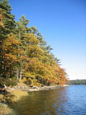
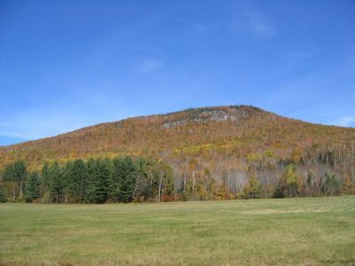
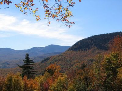
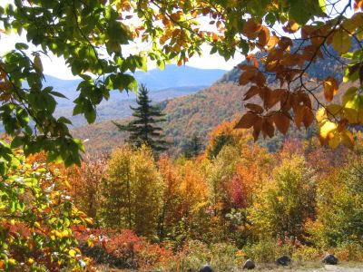
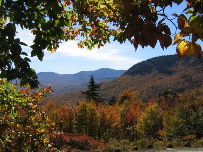
Next I decided to head down to Evans Notch since it wasn't too much out of my way, and I could use it to loop around back to Portland anyway. It was gorgeous at Evans Notch, most likely peak foliage.